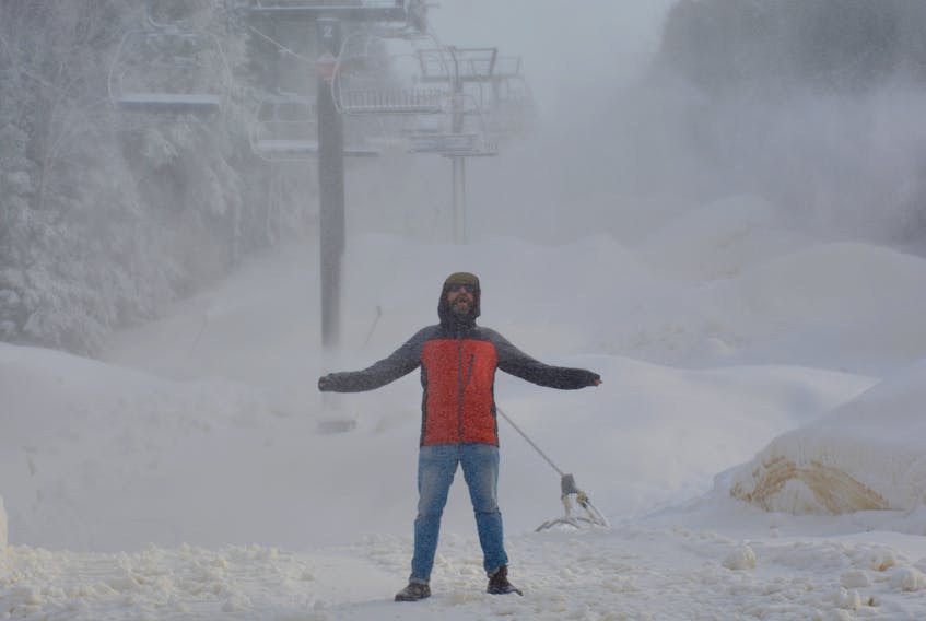
About that prediction that we weren’t going to have a white Christmas? Hold that thought.
“The official criteria for a white Christmas to be recorded is two centimetres of snow on the ground by 7 a.m., so unless it speeds up, which it could, at this point it doesn’t look like you will fulfill that criteria,” said Weather Network meteorologist Doug Gillham.
“But it will still be a snowy Christmas. The snow will develop during the morning, while you’re unwrapping presents, unless you get up at 5:00 to do that. During the day you’ll have snow, which will no doubt impact travel throughout the southern Maritimes.” he said in an interview Friday.
“We have 15 centimetres for Halifax, but I suspect you’ll see a range between the coast and the airport, as you often do. This system will produce a swath of up to 30 centimetres of snow. At this point, that looks more likely to be around the Bay of Fundy. If the system tracks a little farther south, you bring those accumulations into Halifax.”
Environment Canada issued a special weather statement on Friday morning, calling for snow to spread across the province on Christmas Day, starting in the morning over southwestern areas and reaching Cape Breton by afternoon. Winds are forecast to strengthen and combine with the snow to give reduced visibility in blowing snow.
“Now while there’s still some uncertainty, it looks more and more like the track will be shifting south, just off the south coast of Nova Scotia. The energy for this system is just now (late Friday morning) coming ashore on the coast of British Columbia. When you think about trying to figure out the track when the trigger for the storm is thousands of miles away — we were correct in that we were not sure,” said Gillham, also warning of the chance of snow mixing with ice pellets and freezing rain in Halifax.
“You should be fine on Christmas Eve. You’ll have falling temperatures, but there may even be double-digit temperatures before sunrise on Christmas Eve, and then falling. But the snow arrives Christmas morning in Halifax.”
Meanwhile, for Marine Atlantic, Friday was deemed a day of catching up, after a couple of days of cancelled ferry crossings between North Sydney and Port aux Basques.
“The good news is that there’s some weather improvement (Friday) and our captains are going to resume the crossings, so we’ll get three crossings in (Friday),” said Darrell Mercer of Marine Atlantic. “One will be a dedicated commercial crossing to clear up some of the backlog of traffic that we have in both of our ports. And of course, we’ll get another crossing in (Saturday) morning.
“Unfortunately, we are tracking another system that’s scheduled to move in Saturday night into Sunday,” he said, advising Marine Atlantic customers who have some flexibility in their travel plans to think about shifting to an earlier crossing.
“It being the Christmas season, we’ve contacted our customers who are booked on those crossings to advise them that there is the potential for disruption, and that if their individual travel circumstance allows, to look at taking an earlier crossing so they get to their destination on schedule.”
“Right now, yes, we can accommodate customers who need to change their bookings.”


